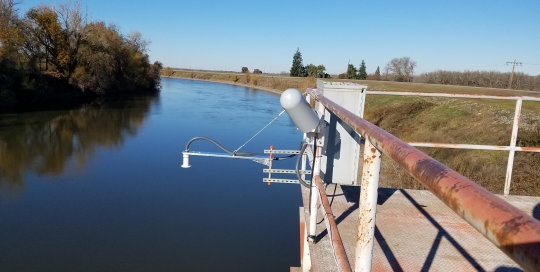
In 2018, Innovative Hydrology modernized the county of Sutter flood monitoring network, replacing ultrasonic water level sensors with radar, repairing vandalized equipment and installing a new bubbler with orifice line. Along with the sensors all data loggers and radios were updated with newer equipment.


 Gallery
 Gallery
 Gallery
 Gallery
 Gallery
 Gallery
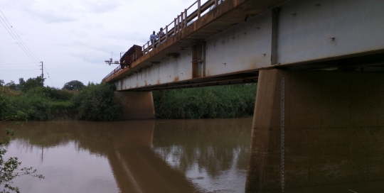
 Gallery
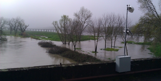
 Gallery